Natural Values Assessments & Reports
A core component of Enviro-dynamics’ service delivery is the assessment of natural values (NVA) and the development of impact reports, management plans, and mitigation and offset mechanisms. Projects include development of single dwellings and subdivisions, major infrastructure projects, weed management and rehabilitation plans, and spatial modelling.
Our highly experienced team has an in-depth knowledge of the flora and fauna of Tasmania and the legislation and regulations protecting these values. We provide support and guidance through the approval and permitting process to achieve balanced outcomes between development and the preservation of biodiversity.
Development Assessments and Reporting
Residential Development and Subdivisions
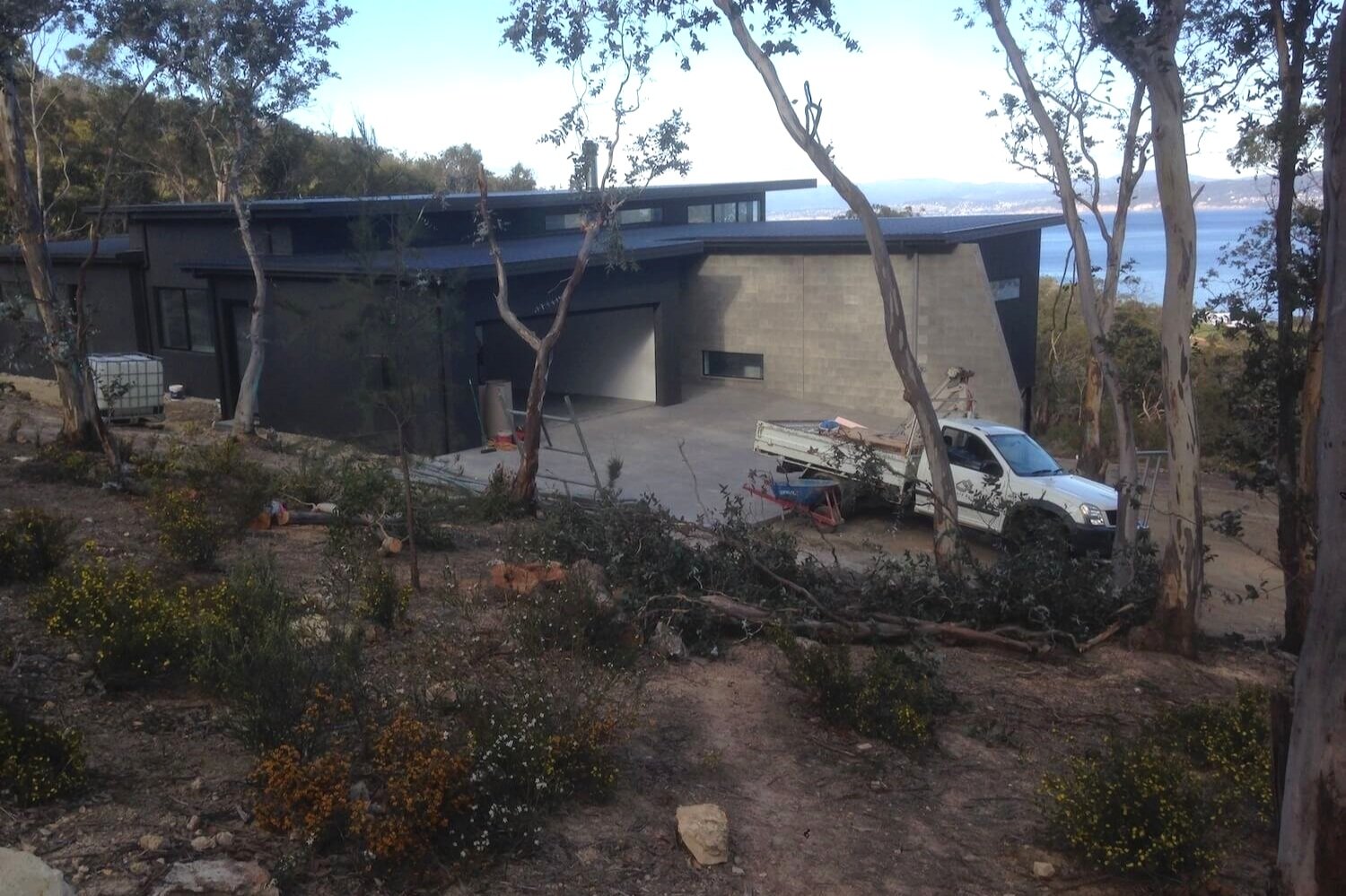
Since 2016, Enviro-dynamics has completed 100+ natural values assessments and reports to meet planning scheme requirements for residential developments and large- and small-scale subdivisions across the state. Our bushfire risk assessment service is often carried out in conjunction with NVA reports to simplify approvals and provide project efficiencies.
Residential Development Assessments and Reports
Subdivision Development Assessments and Reports
Mountain Bike and Walking Trail Projects
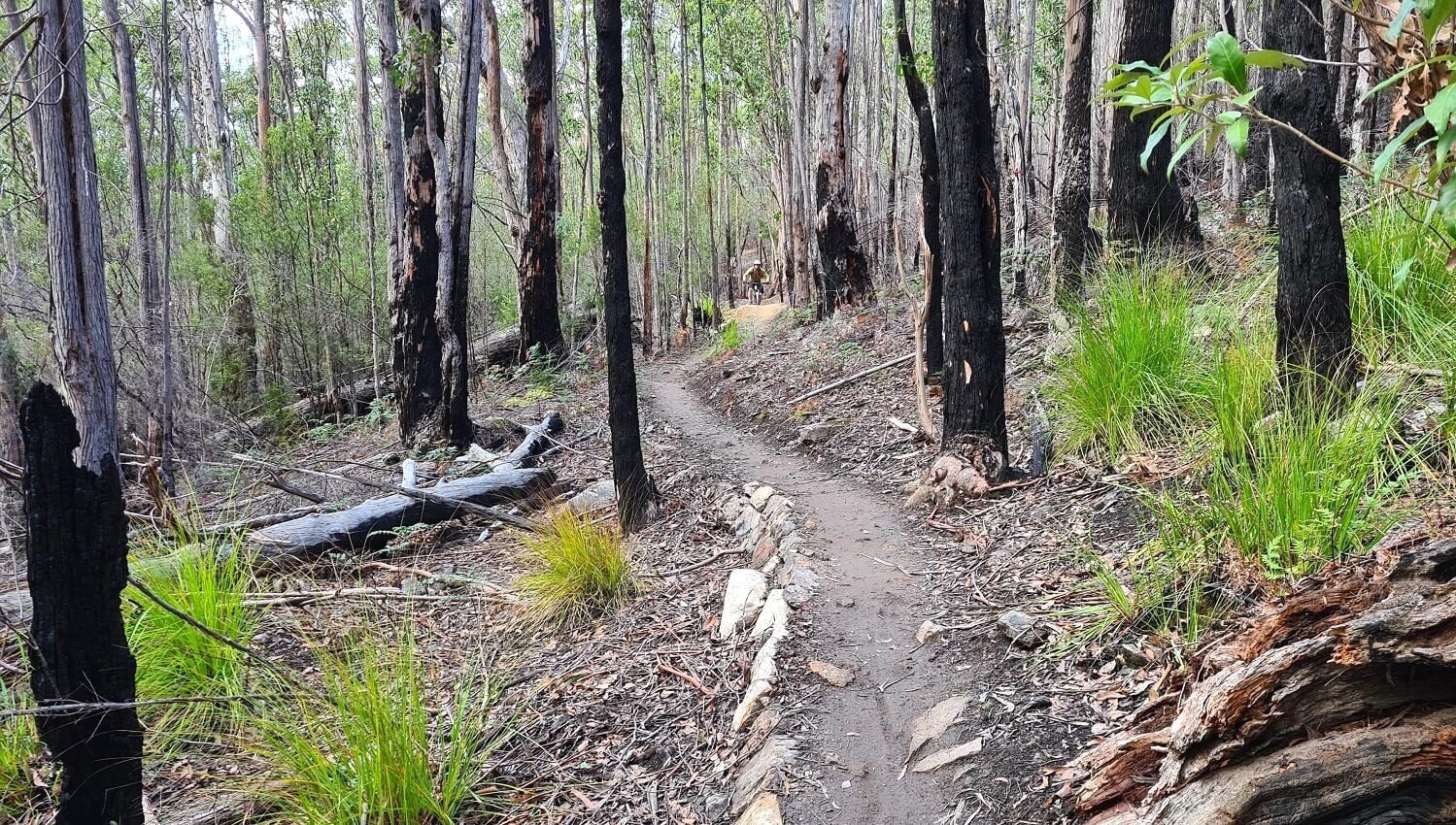
Enviro-dynamics specialises in NVAs for recreational tracks and trails throughout Tasmania. Our team are not only botanical and environmental specialists, we are also keen mountain bikers and bushwalkers. We provide baseline flora and fauna surveys and advise on how to minimise impacts and develop alternative options to protect important natural and cultural values.
Drops Track Project, Hobart
Infrastructure Projects, Construction Environmental Management Plans (CEMP)
Enviro-dynamics has expertise with large infrastructure projects including wind farms, irrigation schemes and water & power infrastructure development and maintenance. We develop Construction Environmental Management Plans (CEMP) for large- and small-scale projects. CEMPs ensure construction activities are managed to avoid or mitigate impacts on the natural environment. CEMPs have been developed by Enviro-dynamics for the protection of water quality using erosion and sediment control measures, protection of threatened plants and animals and significant trees through setting up exclusion zones, timing of operations and relocation and re-vegetation works.
Assess Protection Zone survey, Hobart City Council
Weed Management and Rehabilitation plans
We develop and can deliver municipal wide and site-based weed management plans and re-vegetation & rehabilitation plans associated with developments and subdivisions. We approach planning from an implementation perspective, clarifying how to best achieve control outcomes while also understanding the costs and timelines associated with projects. Hygiene and biosecurity planning are also integral to positive outcomes and we have developed several protocols/strategies and training packages to support organisational implementation for these measures.
Spatial Science Services – Geographical Information Systems (GIS), Modelling, GIS and GPS training
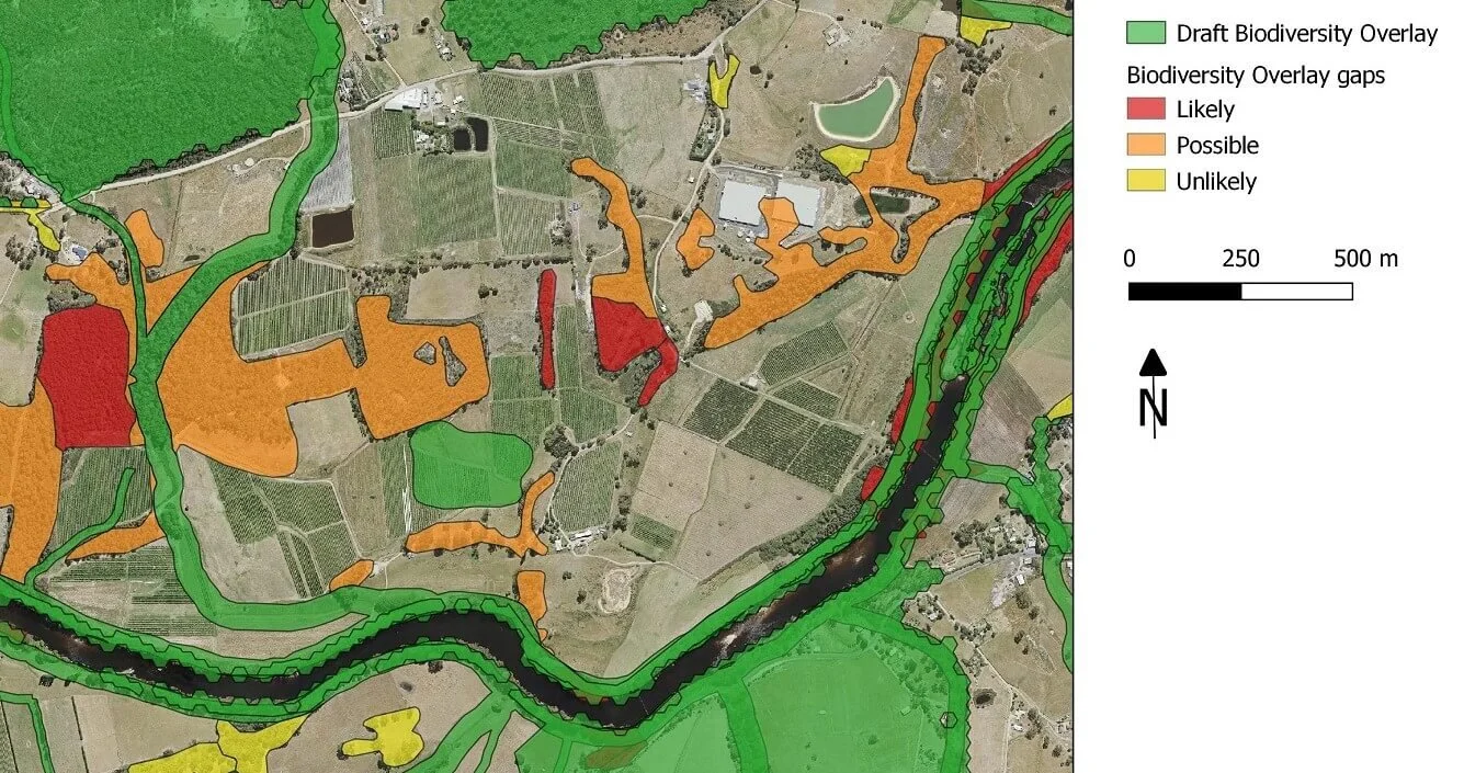
Our team have a range of specialist GIS skills in conservation assets and species modelling. Our skillsets mean that we have worked from on-ground data collection through to the creation of spatial layers and refinement of layers into more complex models. This range of skills enables us to ensure that the data we collect is useable and meaningful and that we understand the implications of how models will be used and how to make them accessible as decision support tools. We also offer NRM professionals training in the use of GPS and open source GIS software to support on-ground project planning and monitoring.
GIS training


